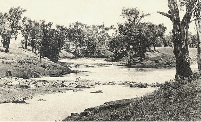
The JUNCTION
MANILLA New South Wales
'The Junction', as the settlement of Manilla was known until the mid 19th century, marks the route of early teamsters on their way north, transporting goods by wagon northwards to cattle stations, settlements and the goldfields of Bingara and Bundarra. In the 1850s, when a horseback mail service was being established to serve towns in the North-west, an official name was requested by the Postmaster General. First storekeeper and Acting Postmaster of the time George Veness, named the place Manilla, after the river flowing down north-west of and into the larger Namoi River at 'the junction'. In 1864, the town of Manilla was laid out by government surveyor Arthur Dewhurst.
THE Junction of the Manilla & Namoi rivers is situated below the western end of Market Street and is also accessible on foot from North Manilla just east of the Mandowa Bridge. It was for generations, a familiar campsite for families of the indigenous Gamilaraay/Kamilaroi Nation of the Central North-west region of New South Wales.
THE Junction of the Manilla & Namoi rivers is situated below the western end of Market Street and is also accessible on foot from North Manilla just east of the Mandowa Bridge. It was for generations, a familiar campsite for families of the indigenous Gamilaraay/Kamilaroi Nation of the Central North-west region of New South Wales.


